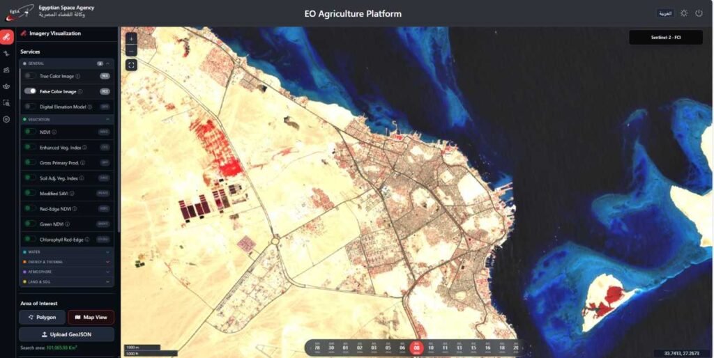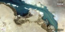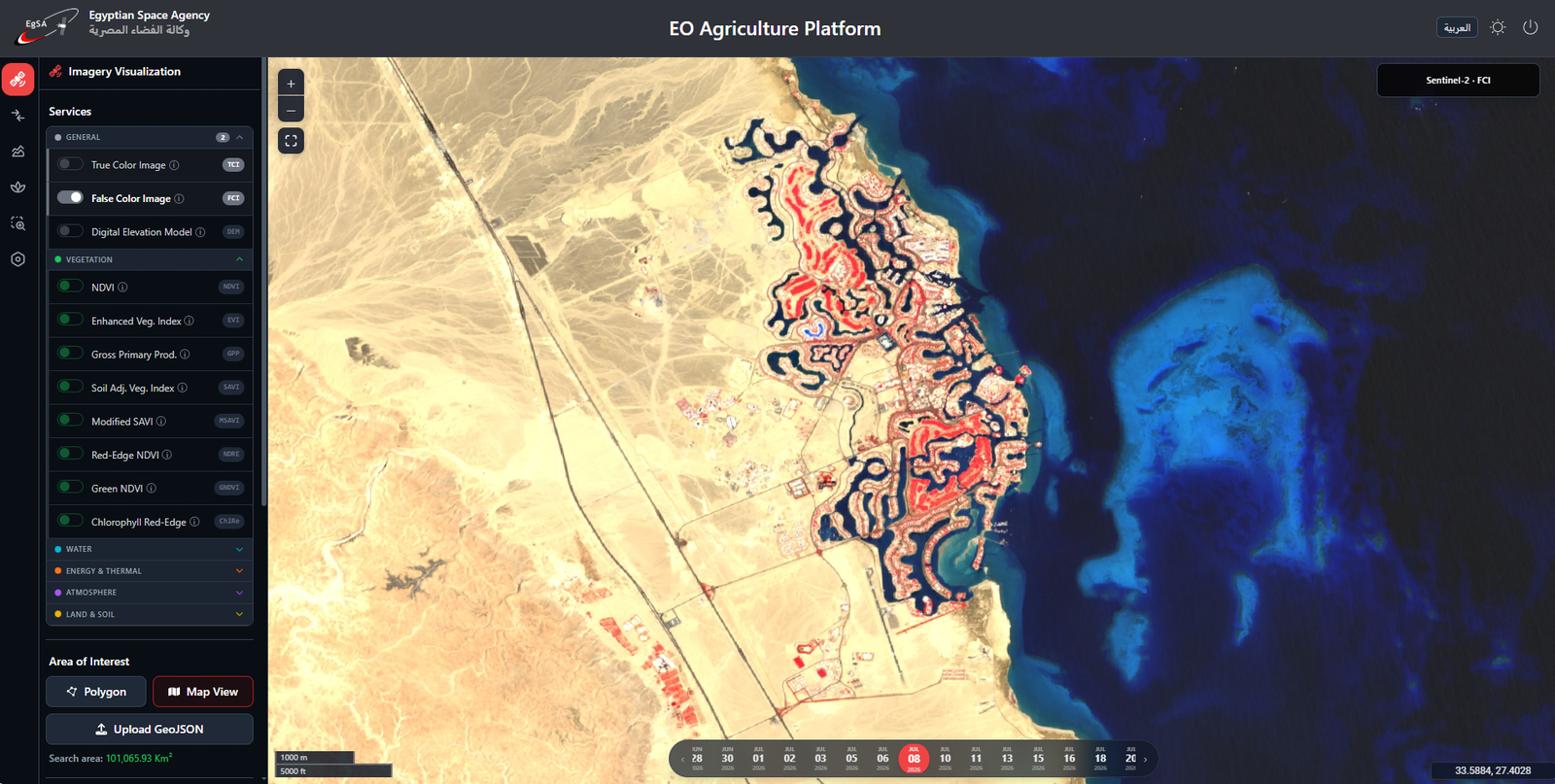
Can you trace Hurghada’s coastline from space? Here’s how it appears on the Egyptian Space Agency’s National Earth Observation Data Platform.
Over one million square meters south of Hurghada. Before we turn to the figures, what can the landscape tell us?
As winter approaches, visitors look to the Red Sea for warmth. Investors start with a different question: how does the coast connect to the city? In this edition of Tuesdays from Space, two satellite images from the Egyptian Space Agency’s platform offer a closer look.
1 | Hurghada: Follow the coastline
Start at the water’s edge and look inland. Neighborhoods stretch along the shore, and roads connect them to areas farther inland. For anyone assessing a potential tourism site, this is where Earth observation proves useful: a single image brings the waterfront, road network, and surrounding development into view.
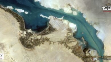
2 | El Gouna: This time, follow the water
In El Gouna, the water turns inland. Channels wind between neighborhoods, their curves shaping the town’s layout. From one bank, you see a single stretch of water. From orbit, you can trace how the channels fit together.
3 | South Magawish: Investment in figures
Egypt’s Tourism Development Authority has issued 16 final land allocation decisions covering plots south of Hurghada with a combined area of more than one million square meters. The planned developments aim to add around 856 hotel rooms.
Look at the two images. Where does the city follow the water’s edge, and where does water weave through the city?
Imagery: Sentinel-2 false-color composites, as displayed on the Egyptian Space Agency’s National Earth Observation Data Platform.
South Magawish figures: Egypt’s Tourism Development Authority, as reported by the State Information Service.